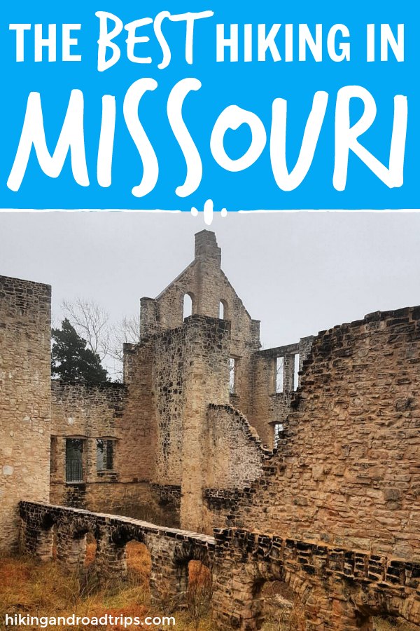
Hiking in Missouri: 5 Supreme Spots for The Perfect Missouri Day Hike
This page contains affiliate links. Read the full disclaimer for more information.
My wife and I were both born and raised in the eastern part of Missouri, St. Louis to be exact. Over the course of that time we were able to visit and hike a good majority of the state and national parks there. Some were duds and some were absolutely remarkable. When you think of Missouri, and you probably think it is a boring state. And you probably never really considered any hiking in Missouri to be very notable. That is not the case.
Missouri is one of the most beautiful states filled with cliffs, rivers, rolling hills and some of the most beautiful and colorful sunsets and sunrises you will see in the country. We have been on some extremely easy hikes in the state along with some grueling ones. The differences of terrain and environment between the different parks and forests always provides us with some beautiful surprises.
Out of all the spots we have trekked across the state, we will discuss our 5 favorite spots for hiking in Missouri.
Table of Contents
Hiking in Missouri: 5 Supreme Spots for The Perfect Missouri Day Hike
Ha Ha Tonka State Park
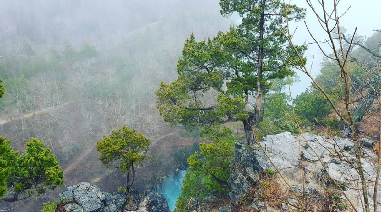
Ha Ha Tonka State Park consists of 3,700 acres 5 miles south of Camdenton, Missouri and is the most gorgeous park there is in this area. From castle ruins to a serene spring that flows out to The Lake of The Ozarks, this is a must stop for hiking.
Throughout Ha Ha Tonka State Park and it’s various hiking trails you will experience natural surface such as dirt, mud, gravel, shifting rocks, slippery surface and other natural surfaces and their possible instability so come prepared. Rocks, roots and downed vegetation can also be found on the trails along with wood or stone steps. Watch out for steep grades and inclines.
Hiking trails:
- Acorn Trail – .9 mile, moderate
- Boulder Ridge Trail – 1.5 miles, moderate
- Castle Trail – .4 mile, moderate
- Cedar Trail – .2 mile, moderate
- Colosseum Trail – .7 mile, rugged
- Dell Rim Trail – .3 mile, moderate
- Devil’s Kitchen Trail – 1.25 miles, rugged
- Island Trail – 1.25 miles, rugged
- Lake Trail – .4 mile, rugged
- Oak Woodland Interpretive Trail – .08 mile, easy
- Spring Trail – 1.5 miles, moderate
- Turkey Pen Hollow Trail – 6.5 miles, rugged
- Quarry Trail – 1.75 miles, moderate
Overall Average Difficulty: Moderate to rugged
Read more on hiking at Ha Ha Tonka State Park.
Mark Twain National Forest – Salem Ranger District
Mark Twain National Forest is a gold mine of hiking in Missouri. The entire forest is absolutely huge and I wish I could include each district in this round up, but unfortunately it would take us days to get through all the different parts and trails of this amazing natural wonder. The Salem Ranger District stood out to me the most, encompassing 175,000 acres within the Salem Plateau of the Ozark Highlands. This includes Crawford, Iron, Dent, Reynolds, and Shannon counties which are in the south-east central area of Missouri.
The ecosystem in this area is especially rich is biological diversity and includes species that are only found in this area. You will find hills, caves, sinkholes, and natural springs as you venture throughout this terrain. Oak-hickory and oak-pine dominate this part of the forest, with bottomland hardwood forest in the floodplains of large rivers. Make it an adventure and stay for a weekend of camping while you hike.
Hiking trails:
- Blair Creek Section of the Ozark Trail – 8 miles, moderate
- Huzzah Ponds – 2 miles, moderate
- Karkaghne Section of the Ozark Trail – 25 miles, moderate
- Loggers Lake Trail – 1.5 miles, moderate
Overall Average Difficulty: Moderate
Read more on hiking at Mark Twain National Forest.
Meramec State Park
Meramec State Park is a 6,896-acre state park owned and managed by the Missouri Department of Natural Resources. This state park is located in Franklin County, Missouri and marked by the Meramec River as it flows by the park’s majestic bluffs and heavily wooded areas. The park features more than 13 miles of hiking trails along with offering fishing, swimming, rafting or boating in the nearby river.
You will need to come prepared for shifting of natural surfaces such as mud and slippery surfaces. The overall difficulty of the parks trails is moderate to rugged with many water and stream crossings without bridges. Be sure to pack your best hiking boots.
Hiking trails:
- Bluff View Trail – 1.5 miles, moderate
- Deer Hollow Trail – 1.25 miles, moderate
- Hamilton Iron Works Trail – .2 mile, rugged
- River Trail – .75 mile, moderate
- Natural Wonders Trail – 1.25 miles, moderate
- Walking Fern Trail – .5 mile, rugged
- Wilderness Trail – 8.5 miles, rugged
Overall Average Difficulty: Moderate to rugged
Read more on hiking at Meramec State Park.
Castlewood State Park
As the Meramec river flows out of Meramec State Park through Missouri, it reaches Castlewood State Park. This park is probably our most frequently visited spot for hiking in Missouri since we live pretty close.
Castlewood State Park has always held a good reputation for itself as a popular Missouri destination. Even in the 1900s St. Louisans flocked to this area to party. No longer being a party destination, this park is now home to broad meadows rich in wildlife, fishing, mountain biking and our favorite, hiking trails of all difficulty and length. With plenty of recreational facilities, this park is a favorite for people looking for adventure.
Hiking trails:
- Al Foster Park – 4.7 miles, moderate
- Castlewood Loop – 2.75 miles, moderate
- Cedar Bluff Loop – 2.25 miles, rugged
- Chubb Trail – 6.5 miles, moderate
- Grotpeter Trail – 3.75 miles, moderate
- Lone Wolf Trail – 1.75 miles, rugged
- River Scene Trail – 3.25 miles, moderate
- Stinging Nettle Trail – 2.5 miles, moderate
Overall Average Difficulty: Moderate to rugged
Read more on hiking at Castlewood State Park.
Hawn State Park
Located in Ste. Genevieve County in Missouri, this 4,956 acre park offers pine and oak trees along with sandstone canyons and cliffs. If you have ever seen sandstone before, you know the rocks shed sand everywhere so bring appropriate footwear and watch your footing. You might even want to being some protective eye wear if you go on a particularly windy day.
The sandstone offers some of the most beautiful landscape and formations in this part of Missouri though, and definitely worth a visit.
Hiking trails:
- Pickle Creek Trail – .7 mile, rugged
- Overlook Trail – 300 feet, easy
- Whispering Pines Trail – 9.75 miles, rugged
- White Oaks Trail – 3.75 miles, moderate
Overall Average Difficulty: Moderate to rugged
Read more on hiking at Hawn State Park.
What are some of your favorite hiking trails in Missouri? Tell us in the comments!
Related posts: Hiking Gear Essentials To Pack For Your Next Trip
The form you have selected does not exist.
Pin this post:
Dani is an entrepreneur and one of the creators of hikingandroadtrips.com. She is obsessed with everything outdoors, especially hiking, traveling and will take any opportunity to #getoutside for adventure or to just vibe with the earth.